
City sub-districts
The four neighborhoods of the Wiehre
The Wiehre is officially divided into four city districts (Nos. 421 to 424). They run from the "Wiehre Cathedral" of St. Johann in the Oberwiehre, through the village-like Mittelwiehre heart at Annaplatz, to the Unterwiehre with its Dreisam riverbank, the Christ Church and the slopes of the Lorettoberg. In all, 24,640 people live here on 5.96 km².
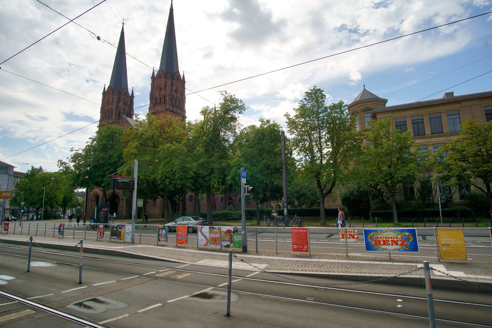
Oberwiehre
The eastern part of the Wiehre around St. Johann (the "Wiehre Cathedral"), Maria Hilf and the Old Wiehre Station. Wilhelmine-era villas and quiet residential streets.
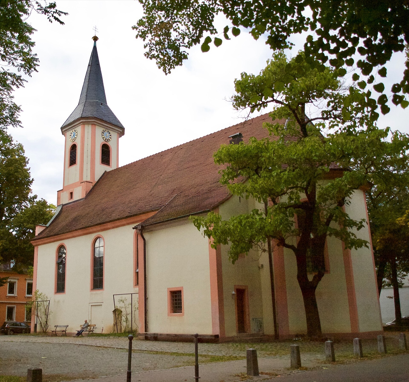
Mittelwiehre
The heart of the Wiehre around Annaplatz square and its little Anna Chapel - grown from the remains of the medieval village of Adelhausen.
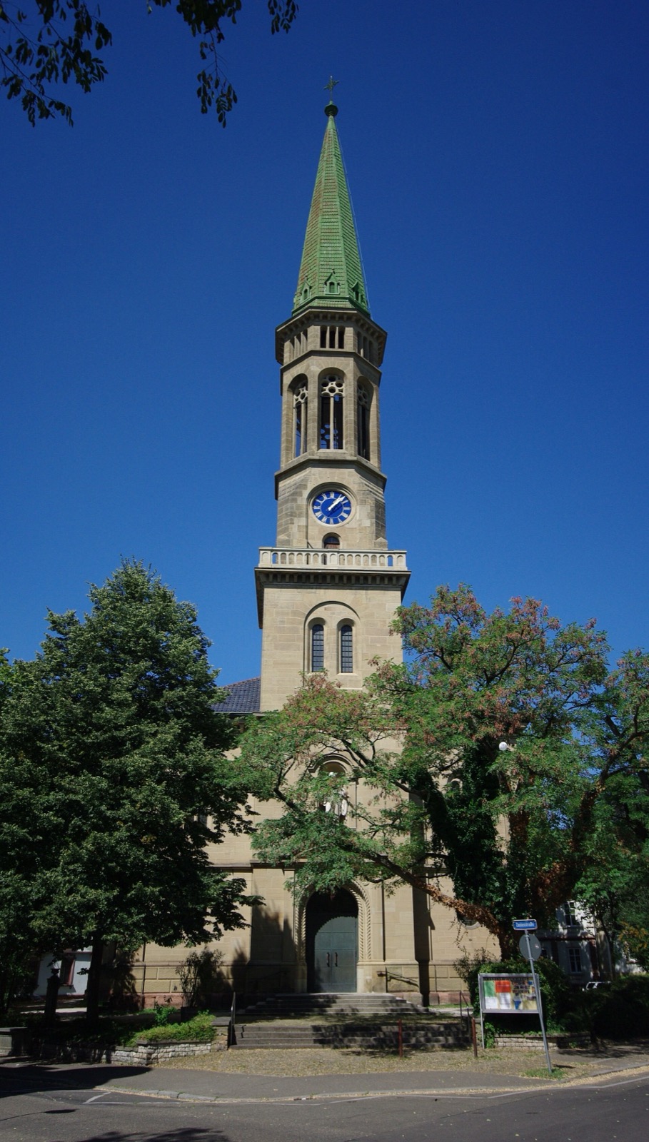
Unterwiehre-Nord
Between Günterstalstraße and the Dreisam river - Freiburg-Wiehre station, the Christ Church and the transition to the Old Town.
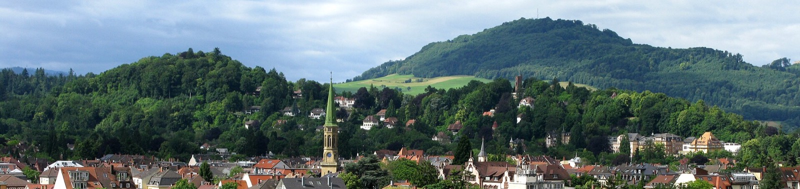
Unterwiehre-Süd
The largest Wiehre district - Lorettoberg hill, the Loretto lido, the Sternwald forest with its Water Castle. Where the Wiehre gives way to the woods.
Where do the boundaries run?
- · Oberwiehre ↔ Mittelwiehre: Hilda- and Quäkerstraße
- · Mittelwiehre ↔ Unterwiehre: Günterstalstraße (with tram 2)
- · Unterwiehre-Nord ↔ -Süd: Loretto-, Christoph-Mang- and Basler Straße
Source: City of Freiburg / Wikipedia